Anti-poaching ranger. K9 handler. Drone pilot.
Protecting Namibia's wildlife through intelligence-driven operations in the heart of the Waterberg.
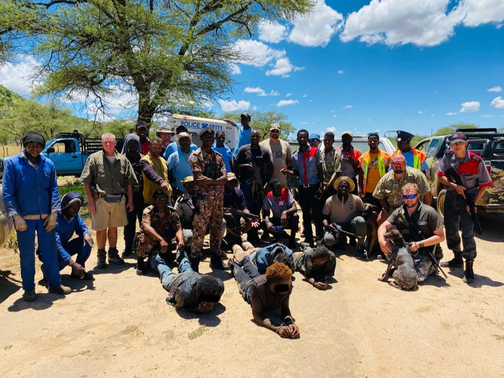
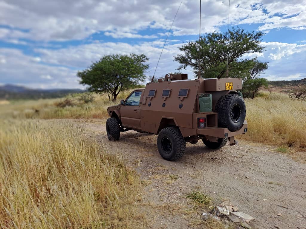
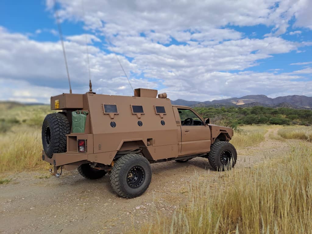
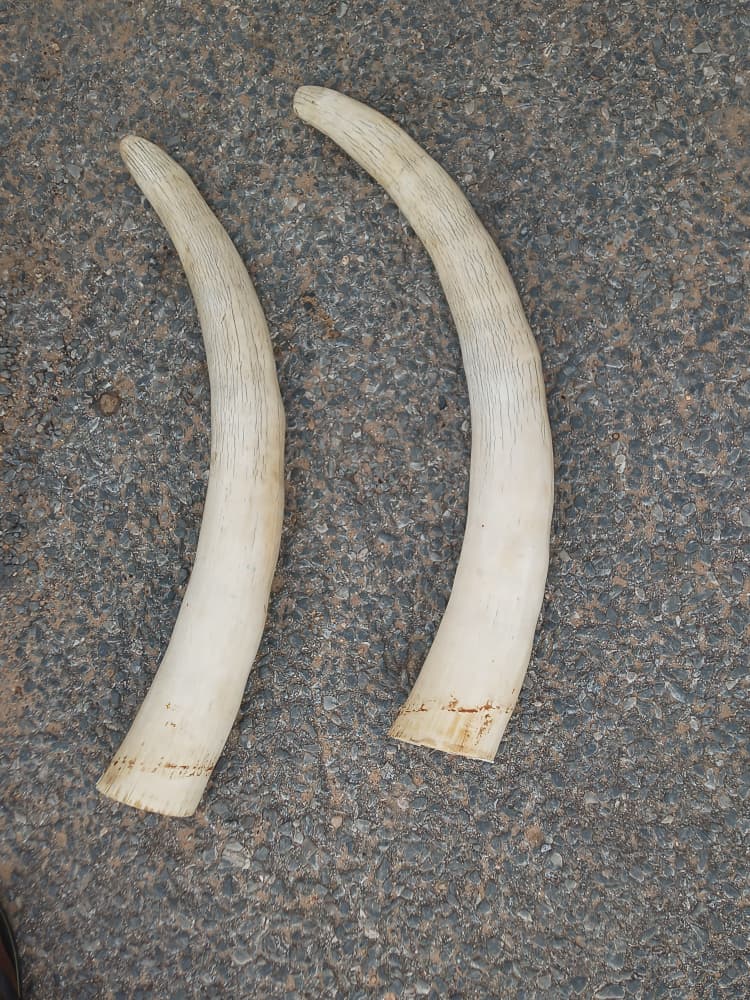
Based in Otjiwarongo, in the shadow of the Waterberg Plateau, I work on the front lines of wildlife conservation and security operations across Namibia's most critical ecosystems.
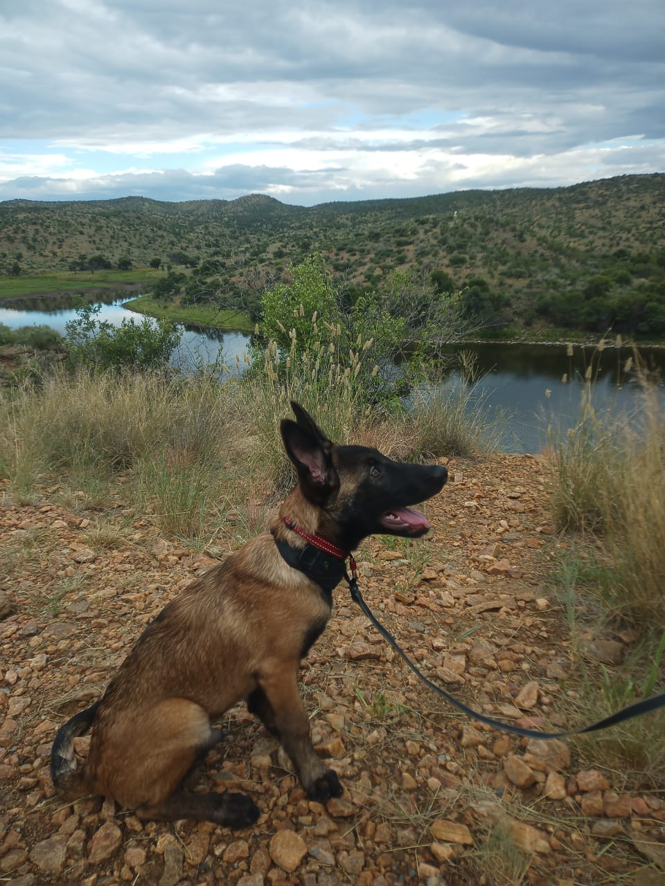
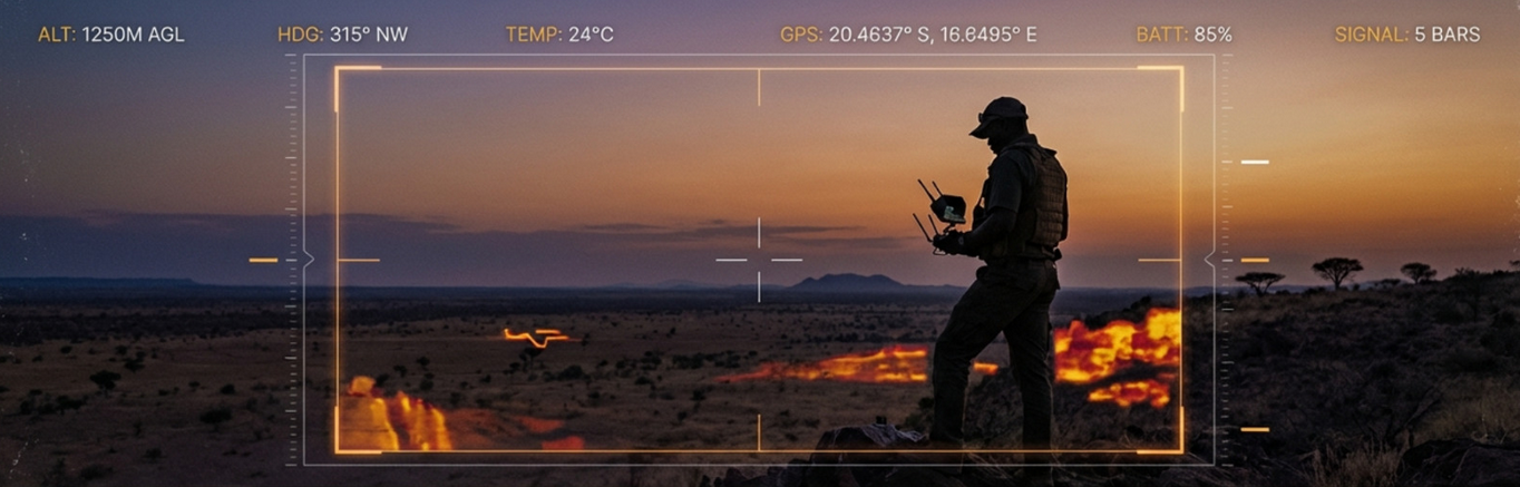
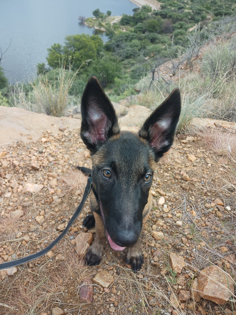
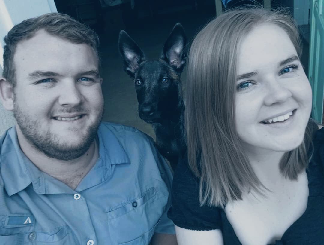
My work spans anti-poaching intelligence, K9 tracking operations with my Belgian Malinois partner Dax, and aerial surveillance using drones for rapid area assessment. I collaborate with organisations like the Blue Rhino Task Team and operate with the EarthRanger platform for real-time situational awareness.
A French documentary crew is currently planning to embed with my team for over a month to film an anti-poaching documentary for international distribution. This work is not just a career. It is a calling.
The bush does not wait. Neither do poachers. We train harder, move faster, and never stop watching.
- Zan Theisinger
Combining ground-level tracking, canine intelligence, and aerial technology to protect Namibia's most vulnerable wildlife.
Handler of Dax, a Belgian Malinois trained for tracking, detection, and bush operations. Specialised in snake avoidance training and field deployment protocols.
Front-line ranger operations in the Waterberg region and beyond. Intelligence-driven patrols, armed response, and collaboration with the Blue Rhino Task Team and MEFT.
Drone-based reconnaissance and surveillance for area assessment, incident documentation, and operational overwatch. Quick-deploy capability with multi-battery endurance.
Otjiwarongo sits at the gateway to some of Namibia's most critical conservation areas. From the Waterberg Plateau to the Etosha periphery, this region is home to endangered black and white rhino populations, making it a frontline in the fight against wildlife crime.
Critical rhino sanctuary and biodiversity hotspot
Private game reserves and commercial farmlands
Buffer zone operations and wildlife corridors
Deployable nationwide for incident response
Otjiwarongo, Otjozondjupa Region, Namibia
Intelligence-driven anti-poaching platform built for Namibian conservation operations.
BushAlert is a purpose-built platform for anti-poaching units, private reserves, and conservation organisations in Namibia. Report incidents in real-time, track suspects, coordinate patrols, and generate intelligence reports, all from your phone or desktop.
Log poaching events, suspicious activity, and wildlife sightings with GPS coordinates and photo evidence instantly.
Maintain intelligence profiles on known suspects with threat levels, photos, and case history.
Visualise all incidents and patrol routes on a live map powered by satellite imagery.
Generate weekly PDF reports for stakeholders, reserve managers, and law enforcement partners.
Built for field conditions. Works on any smartphone, optimised for low-bandwidth environments.
Track and record patrol routes with start/stop functionality and time-based filtering.
bushalert.com
Purpose-built for Namibian anti-poaching operations. Secure, reliable, and designed for the bush.
For individual rangers
1 user, incident reporting, map view, mobile app
For small teams (up to 10)
10 users, suspect tracking, patrol routes, weekly reports
For reserves & organisations
Unlimited users, full intel suite, API access, priority support
Aerial reconnaissance and K9 training captured in the Namibian bush.
Drone surveillance footage over operational area
Extended drone patrol over Namibian terrain
Dax training on snake detection and avoidance
From dawn patrols across the Waterberg to K9 training in the Otjiwarongo bush.
Working alongside
Whether you need operational support, want to deploy BushAlert, or are exploring conservation partnerships in Namibia, I would be glad to connect.
Based in Otjiwarongo, Otjozondjupa Region, Namibia